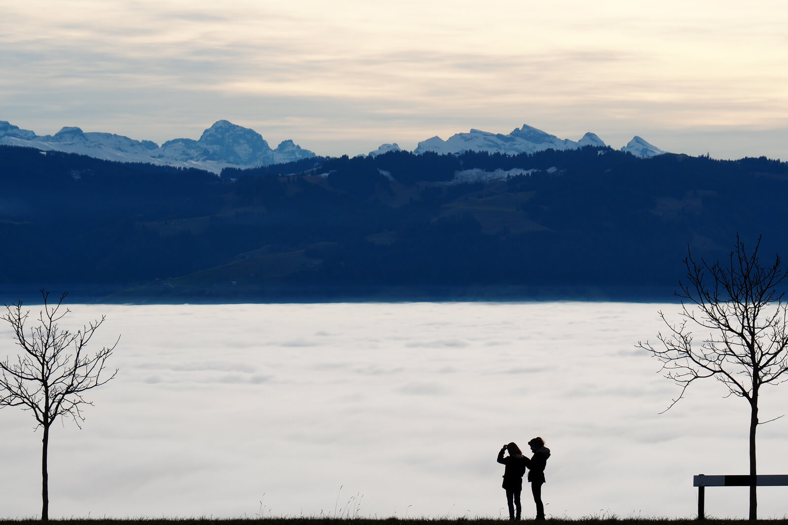
What does the weather have in store for us this winter? Will we be seeing snow fall, slippery roads and a white Christmas? Or is it going to be mild enough to ski in a sweater?
During the colder months, there is hardly a subject that interests the Swiss more than the weather forecast. Day in and day out, we wonder whether the “Föhn” might bring milder temperatures, whether the “Schneefallgrenze” is going to sink, or whether that depressing fog cover is finally going to lift...
We have put together a comprehensive guide on understanding Swiss winter weather. Learn how to read the signals in the sky. And identify the conditions that determine the Swiss winter weather.
How to read the clouds above Switzerland
Clouds are a good sign for short term weather predictions. Keep in mind that while the sky might look cloudy from your vantage point in the flatlands, you may be covered by a layer of fog. Above the fog, there could be a cloudless sky and sunshine.
Knowing the following cloud patterns helps you figure out the prospects for good or bad weather.
Prospects for good weather:
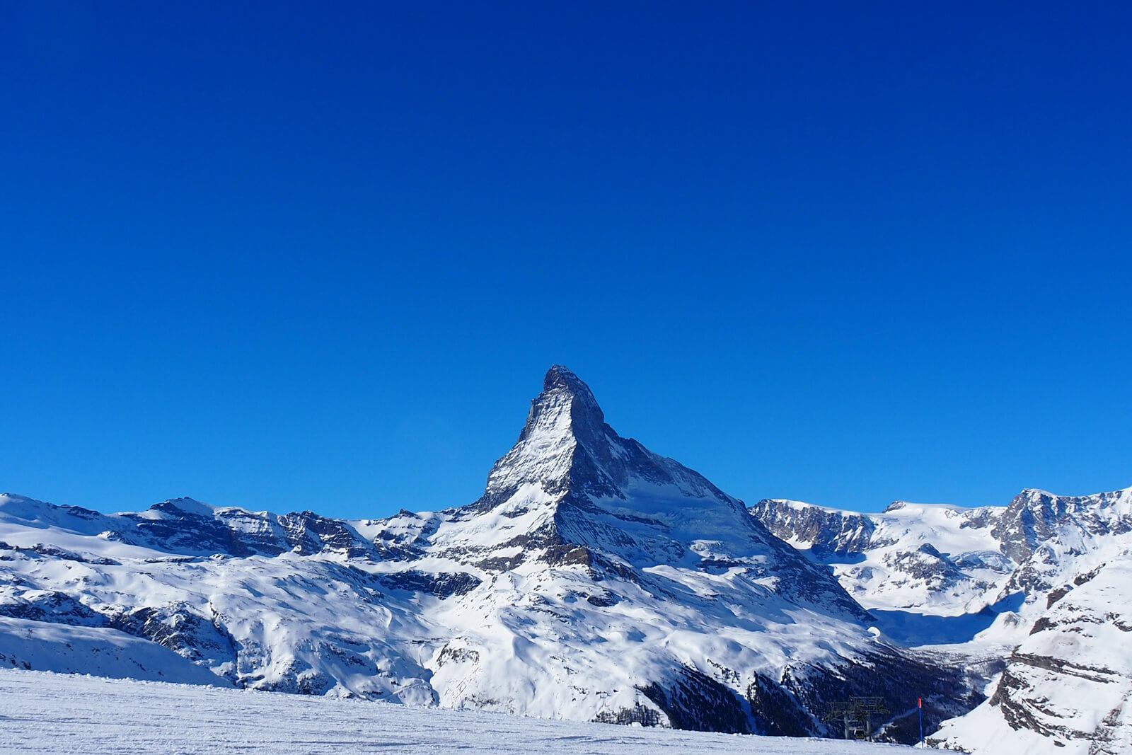
NO CLOUDS
Cloud free skies occur due to high pressure zones, which in turn are a sign for good weather.
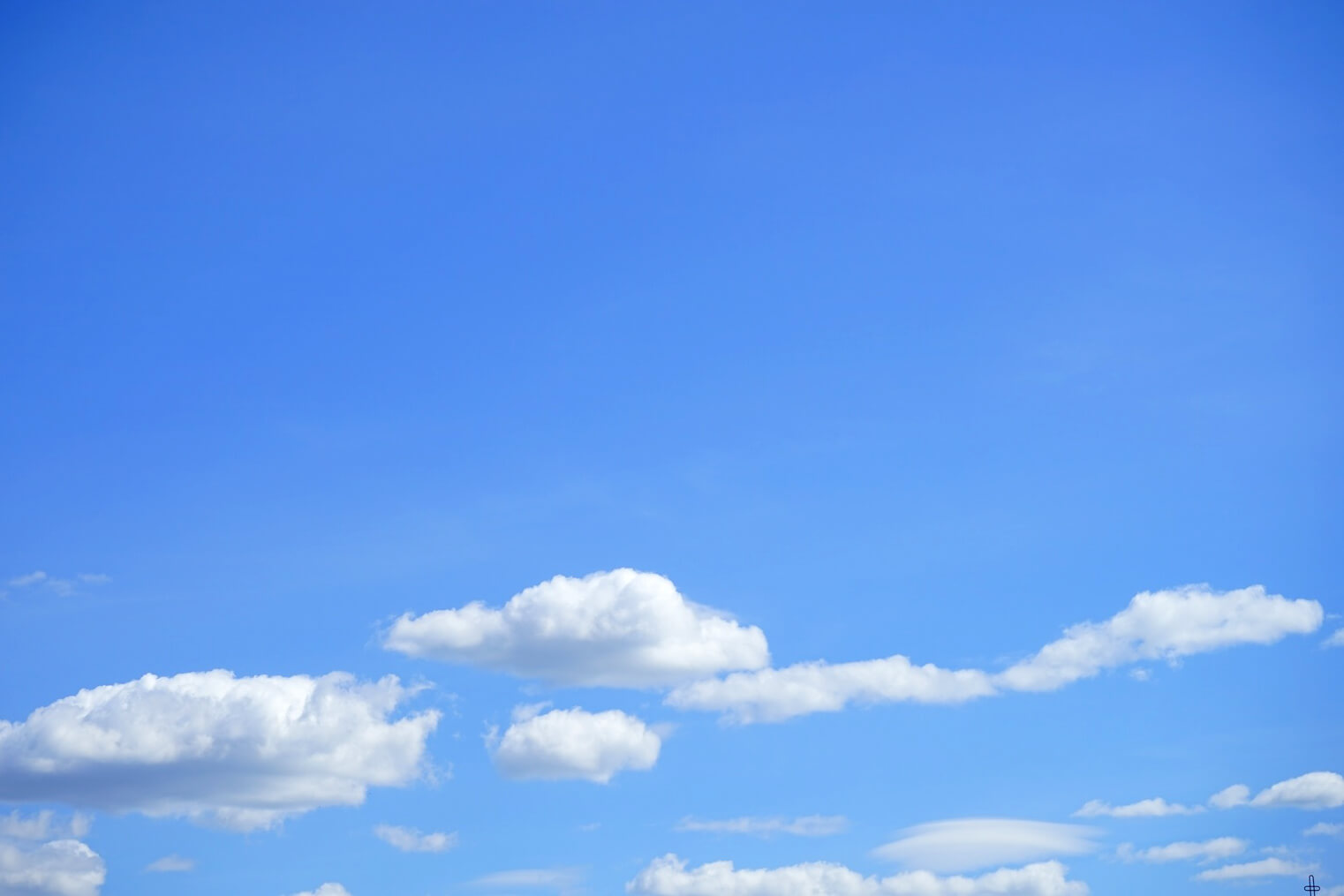
CUMULUS HUMILIS CLOUDS
Cumulus humilis clouds are typical nice weather clouds, yet they rarely occur in winter.
Prospects for changeable weather:
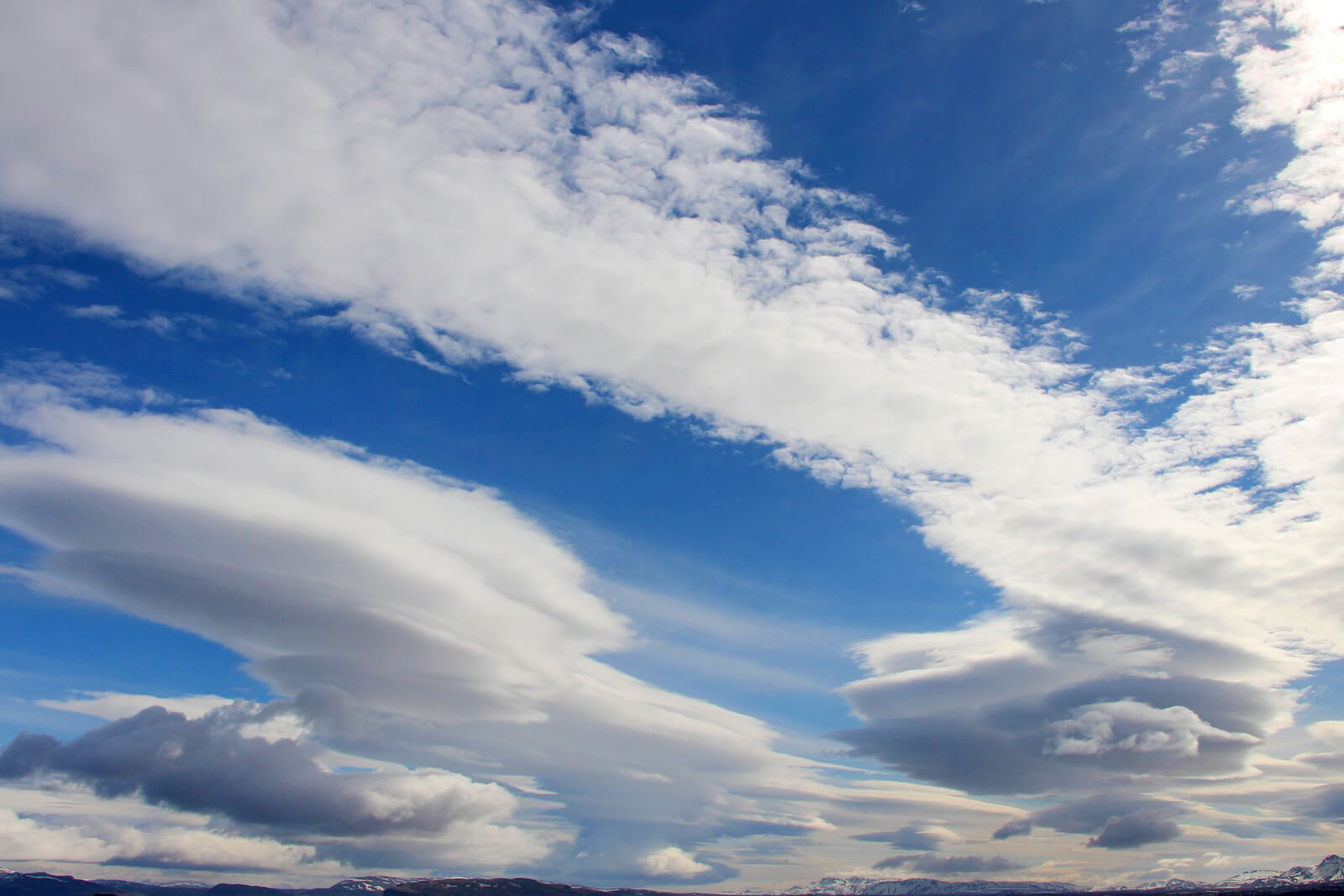
ALTOCUMULUS LENTICULARIS CLOUDS
Altocumulus lenticularis, or simply lenticularis clouds, are signs of warm “Föhn” winds that bring sun followed by snow.
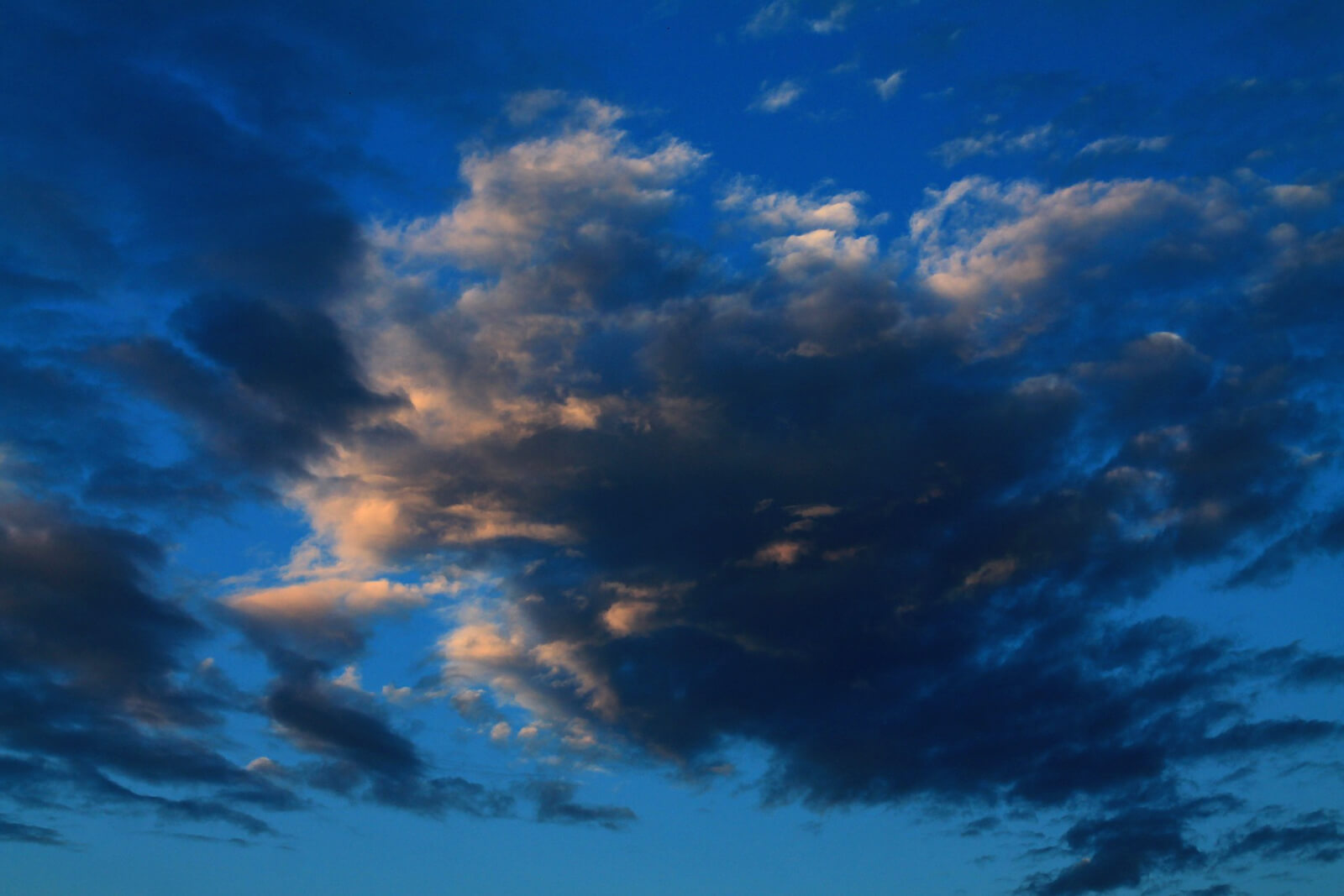
REVERSE WEATHER
Reverse weather is caused by the passage of a cold front. This pattern may bring some sun along with localized snow showers in the mountains.
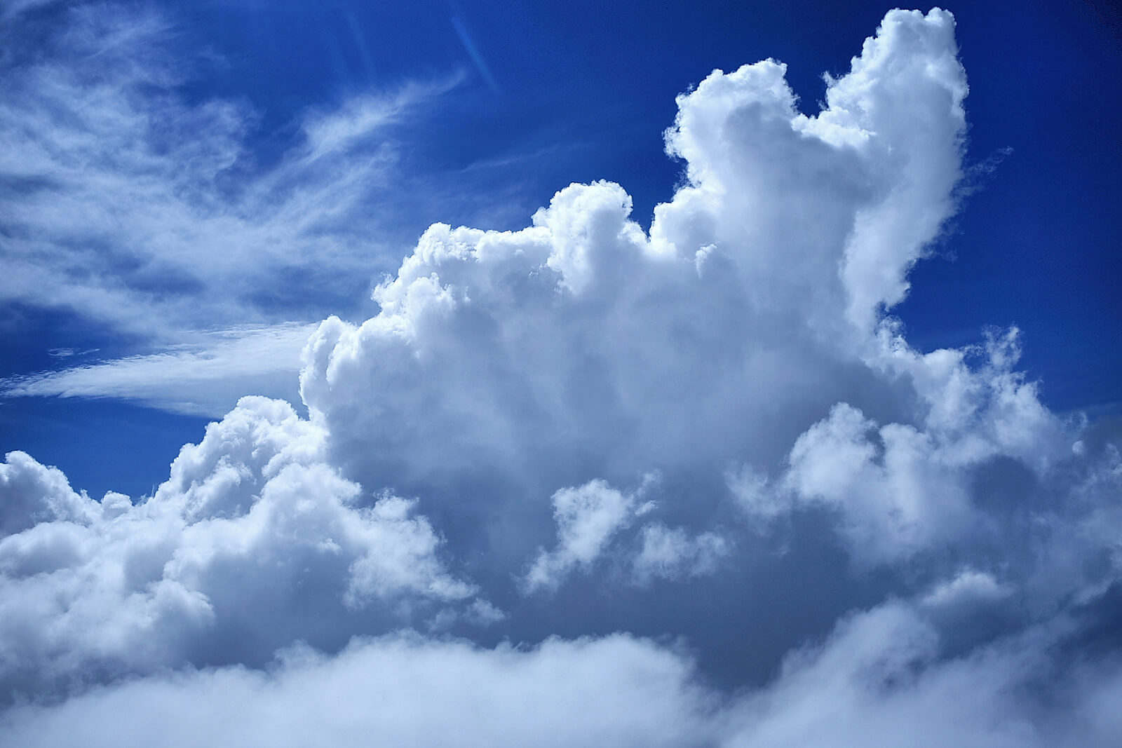
CUMULUS CONGESTUS CLOUDS
The impressive Cumulus congestus clouds are a sign for mostly sunny weather with the chance of local showers.
Prospects for bad weather:
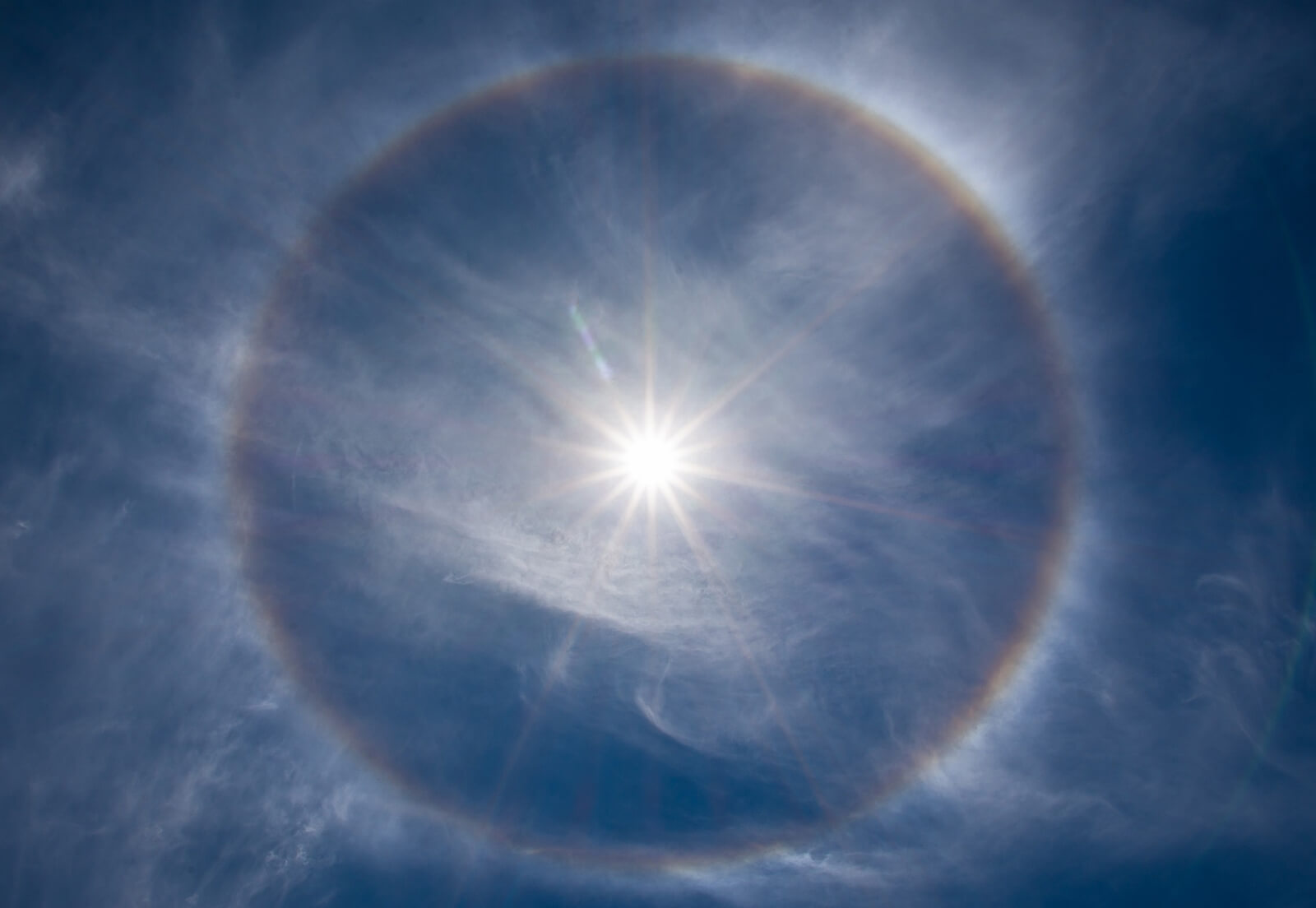
HALO RING
A halo cloud is a ring around the sun or the moon and it is a predictor for inclement weather.
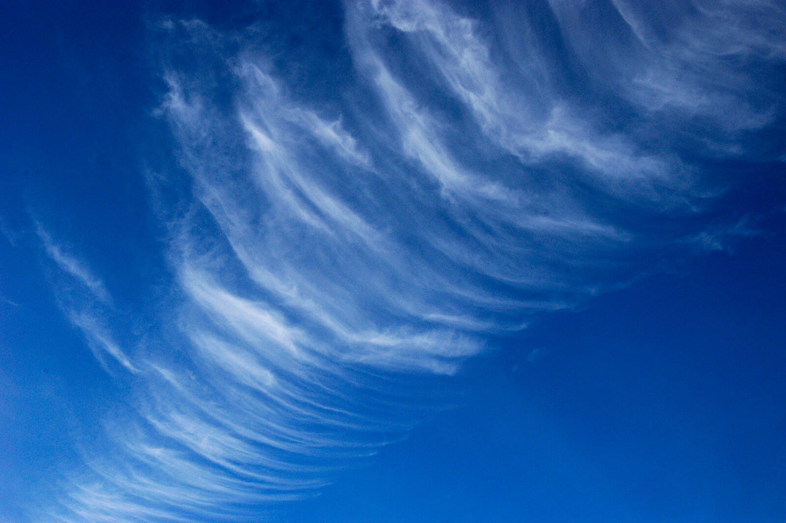
CIRRUS UNCINUS CLOUDS
The curly Cirrus uncinus clouds announce a warm front with precipitation, such as snow or ice rain.
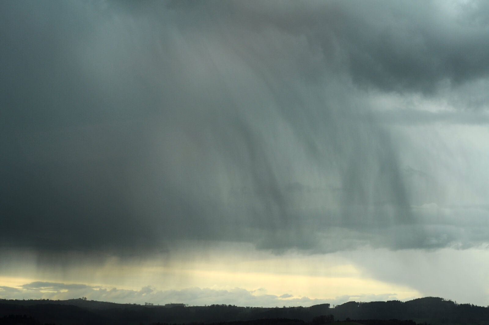
NIMBOSTRATUS CLOUDS
Nimbostratus clouds can cause considerable precipitation lasting several hours, be it snow or rain.
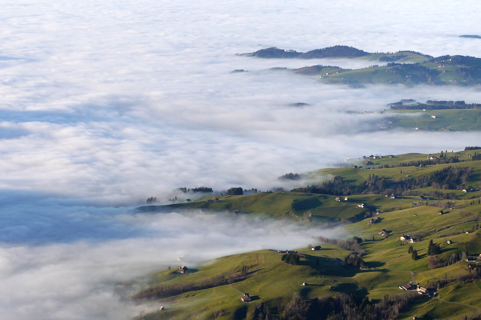
FOG LAYERS
Fog layers can hover for weeks at altitudes from 800 to 1500 meters above sea level. They mainly occur during a northeastern wind pattern.
5 typical Swiss weather conditions
Now that you have learned about the different types of clouds and their impact on Swiss winter weather, learn about five typical weather conditions. When put together, both pieces of knowledge will allow you to interpret Swiss winter weather.
The following weather conditions result due to the special location of Switzerland in the alpine region and the types of winds that result from it. The direction, strength and duration of winds will determine the outcome of Swiss winter weather.
Western wind
Western wind conditions may last anywhere from one day to one week, affecting northern Switzerland more than the south.
A moist air stream enters Switzerland from the Atlantic ocean, resulting in blizzards that often lead to icy rain. Whenever this pattern occurs, drivers need to watch out for black ice...
Every one or two days, the western wind pattern will carry polar front waves into Switzerland. These waves result in sudden (and strong) gusts of wind.
Northeastern wind (Bise)
Northeastern winds are the result of a high pressure system in the north of Switzerland yet low pressure in the Mediterranean region.
You may have heard the term of “Bise” which describes this wind pattern channeling cold winds from northern Switzerland towards Geneva. The longer these winds have traveled across Switzerland, the more they will accelerate.
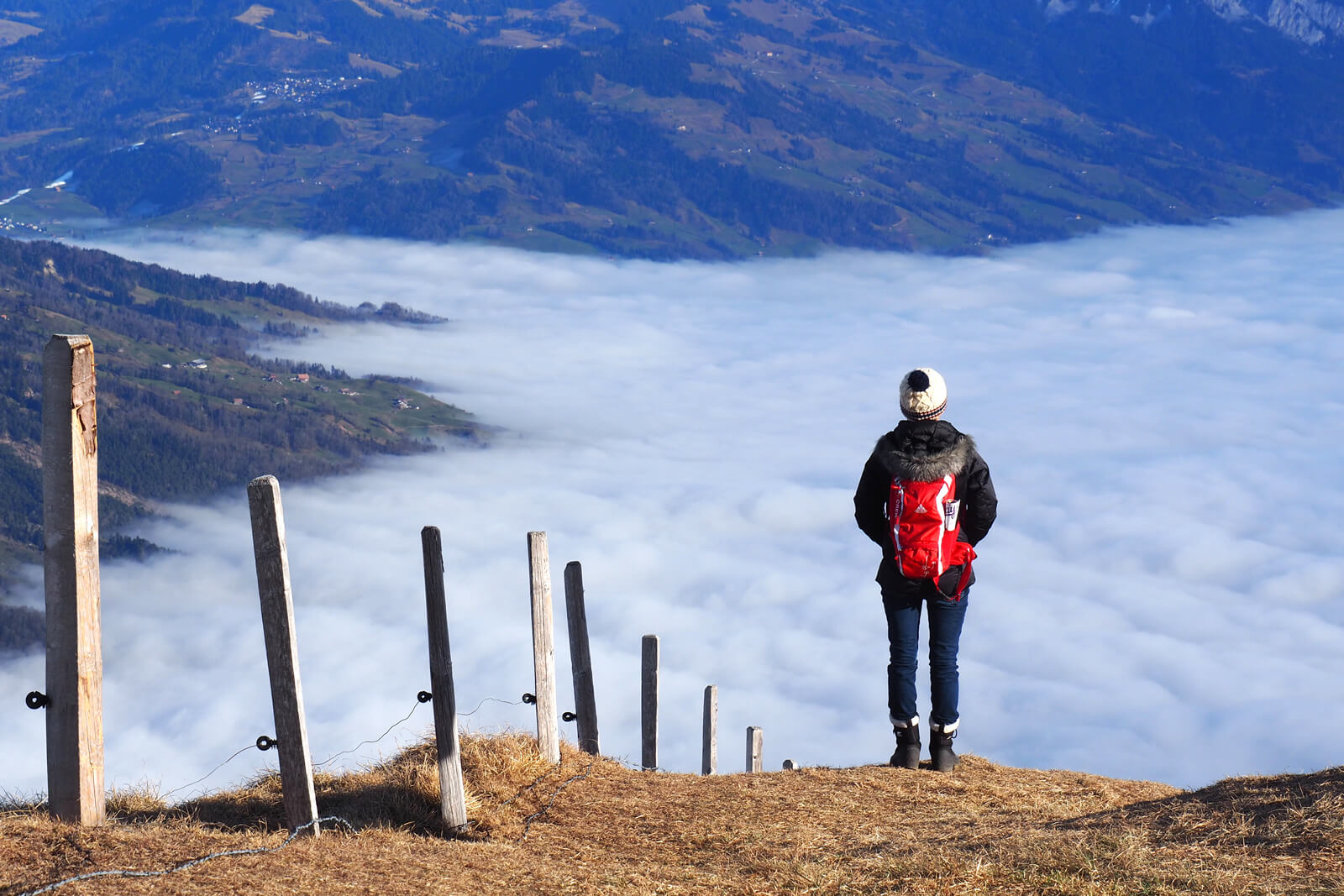
One result of northeastern winds is a fog layer which separates the cold air below from the warmer, clearer air above. Since the sun rays are often insufficient for breaking up the Stratus cloud cover, large parts of Switzerland remain underneath it for weeks at a time.
A side effect of these foggy conditions are rain or snow showers, i.e. slippery streets. With a temperature difference of up to 15 degrees Celsius, it is well worth climbing out of the “soup” to catch the sun...
Southern Föhn
Föhn is a unique weather pattern that only occurs in Switzerland. Generally speaking, Föhn forms wherever strong winds climb across mountain ridges.
When it comes to the southern Föhn, moist Mediterranean air flows into Switzerland and climbs up along the southern slopes of the Alps. This creates bad weather in places like Ticino, often with heavy snowfall and a high risk of avalanches.
North of the Alps in the Valais or in Graubünden, lenticularis clouds form as a sign for warm and dry weather. However, the southern Föhn can be exceptionally stormy as it hits the valleys beyond the Alps, often ripping out trees and stirring up lakes.
Northern Föhn
More common towards spring, the northern Föhn traps moist air on the northern side of the Alps. The result are clouds and precipitation (especially in Graubünden), as well as strong winds and avalanches.
South of the Alps in Ticino, however, lenticularis clouds form and nice weather prevails.
High pressure
And finally, the Swiss winter weather pattern we all love the most: high pressure. This weather condition covers all of Switzerland and can last from a few days to several weeks.
Thanks to the increasing pressure from the sinking air, temperatures warm up and polar front waves move conveniently past. While some people complain of headaches and parts of Switzerland are covered with low-hanging fog layers, most everyone enjoys the beautiful and cloud free weather - as long as it lasts...
More information about Swiss winter weather



Add comment